NEWS AND UPDATES
Geographic Information System, a tool for tracking diseases in PH

Health officials and workers can now monitor the prevalence and magnitude of diseases through Geographic Information System (GIS).
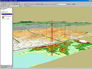
GIS captures, stores, checks and displays data related to Earth’s surface. It has the capacity to analyze and understand the patterns that can help in generating different information such as disease-causing agents and magnitude to be integrated on a single map, and thus, allows detection and management of possible disease outbreaks.
Presented by Dr. Lydia Leonardo, a Professor of parasitology at the 16th University of the Philippines Manila during the National Institutes of Health Anniversary, GIS technology was used in her study on surveillance of schistosomiasis, a disease acquired from fresh water infested with the larval forms of parasitic blood flukes.
Using GIS, researchers identified various endemic barangays in Calatrava, Negros Occidental and Gonzaga, Cagayan. The GIS maps of the snail sites also revealed the spatial distribution as well as direction of dispersal of snails based on elevation and direction of water flow. With this analytical capability of GIS, it can aid in the planning of cost-effective and efficient schistosomiasis surveillance activities. As Dr. Leonardo put it, “Crucial to disease elimination in these endemic areas is an efficient surveillance system that would monitor transmission of disease. “
In Quezon City, health officer Dr. Antonieta Inumerable shared that GIS helped identify measles and dengue cases among its barangays, enhancing decision-making on immediate interventions and avoiding disease outbreak.
GIS is one of the initiatives of the University of the Philippines National Telehealth Center aimed at improving health care delivery.


